Langan Acquires JPH Land Surveying in Texas
Parsippany, NJ (March 18, 2024) – Langan Engineering & Environmental Services announced the acquisition of JPH Land Surveying, Inc. headquartered in Dallas/Fort Worth with offices in Houston and Austin. This is the second acquisition that Langan has made in Texas and reinforces the firm’s commitment to supporting clients in the Lone Star state.
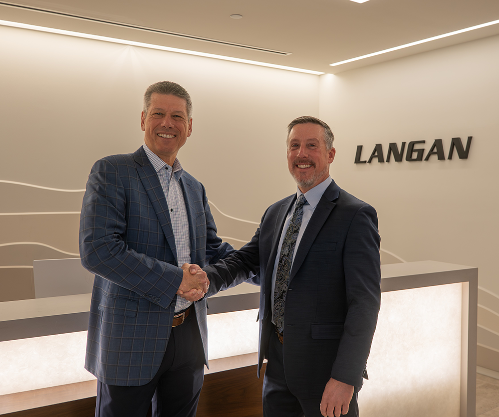
“Texas continues to be a strategic focus for Langan. By growing our survey practice in the region via this acquisition we will be better able to support clients throughout the state,” said David T. Gockel, President/CEO, Langan. “Jon Hoebelheinrich and his team have been working with Langan for years, so they will seamlessly integrate into our Texas practice in Dallas-Fort Worth, Houston, Austin, and Tyler. This acquisition aligns with our strategy to accelerate growth across the country by adding only best-in-class firms to Langan.”
JPH, founded in 2002, provides land development support surveying, platting and replatting, ALTA/NSPS Land Title surveys, aerial mapping via drone, topographic and tree surveys, As-Built surveys, and other survey coordination services. JPH holds long-standing relationships with clients and design partners primarily across Texas, as well as Arkansas, Mississippi, and Colorado.
“Dave Gockel and his leadership team have built an incredible firm, and we are thrilled to become part of Langan,” said Jon Hoebelheinrich, President and Founder of JPH, who joins Langan as an Associate Principal. “Langan’s survey group possesses leading-edge technological tools that will greatly enhance our Texas-based services, and by joining a national firm with a blue-chip client base, it is clear that JPH staff will have exciting new career growth opportunities.”
With the acquisition of JPH, Langan has 125 employees in Texas, where the firm is actively recruiting talent to further accelerate growth and expansion. Hoebelheinrich will work closely with the firm’s Texas leadership team, which includes Gregory Elko, Managing Principal; Kyle Bogardus, Principal-in-Charge of Langan’s Houston office; Rob Adams, Principal-in-Charge of Langan’s Dallas office; and Jack Garner, Principal-in-Charge of Langan’s Austin office.
The law firm of Lawson & Weitzen advised Langan and facilitated this asset-purchase transaction.
About Langan
Langan (www.langan.com) provides comprehensive environmental and engineering consulting services to a broad array of clients nationally and internationally. Founded in 1970, Langan employs 1,600 professionals and has 40 offices throughout the U.S., including New Jersey, New York, Florida, Texas, California, Pennsylvania, Connecticut, Massachusetts, Virginia, Washington, DC, Ohio, Illinois, Tennessee, North Carolina, Arizona, Colorado, Utah, and Washington.
Langan International, the firm’s wholly owned subsidiary based in New York, has five offices in Athens, Dubai, Calgary, London, and Panama.
Consistently ranked among the top “Best Firms to Work For” (The Zweig Group), and among the top 50 firms worldwide (Engineering News-Record), Langan prioritizes health and safety; embraces and promotes diversity and inclusion; encourages volunteerism and philanthropy; and operates as a carbon-neutral business.
###